The Burren region, located between Counties Clare and Galway, is…
Conservation Grazing in the Kerry Uplands
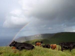
This project seeks to develop evidence-based management recommendations for the uplands, specifically with regard to the impact of cattle grazing on upland habitats. The home range and resource selection of Dexters (a native breed) in the 462 hectare Mount Brandon Nature Reserve in County Kerry is being investigated. It is a collaborative project between the Institute of Technology, Tralee, the National Parks and Wildlife Service, and an organic farmer in west Kerry.
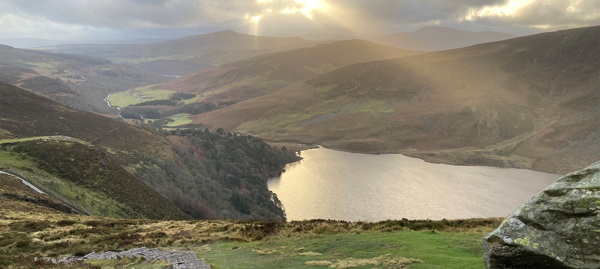
In Ireland the uplands (land over 150 m) form our greatest expanses of semi-natural habitats. Almost 29% of the country is considered upland and over 40% of the Natura2000 Network occurs in these areas. Uplands are important areas for conservation, supporting many rare and threatened plant and animal species, and containing up to 14 habitat types listed under Annex I of the Habitats Directive (Perrin et al., 2014). Annex I habitats are of particular community importance and member states are obliged to maintain priority habitats in favourable conservation status.
The latter half of the twentieth century brought about widespread degradation of Ireland’s upland habitats, due in part to inappropriate gazing regimes (Heritage Council, 1999). Reforms have tried to redress imbalances in the uplands, much of which are deemed to be High Nature Value farmland, using a wide range of measures. However, the conservation status of the majority of designated upland habitats in Ireland is currently assessed to be in poor or bad condition (National Parks and Wildlife Service, 2013).
Grazing trials were initiated in 2011 with the Dexters, a small and hardy Irish breed. The cattle, based in the lowlands for much of the year, are brought to the mountain in mid-July and have unlimited access to the 462 hectare site and its range of habitats until October. The research focuses on the four main habitat types available to the cattle; dry heath (145 ha), wet heath (62 ha), blanket bog (71 ha) and wet grassland (14 ha). The higher slopes of the reserve are dominated by montane heath and support an interesting arctic-alpine flora, but these heights (>500 m) are not utilised by the cattle and are not under examination. Control plots were established in each of the main habitats in 2011, prior to the cattle being introduced to the site.
Home range and habitat selection studies were conducted between 2013 and 2015, which involved tracking selected animals with GPS collars. These data were used to generate home range estimates and conduct habitat selection analysis. Vegetation and ground beetle (Carabid) sampling was completed each year in order to examine how the grazing impacted habitats and species.
The 30 cattle used in this study have set up a home range of approximately 100 ha each season, the size, shape and structure of which has been stable both within and between years. This is probably dependent on the distribution of habitat patches in the reserve, as well as factors such as water availability and ease of access between habitat patches. Habitat selection was significant, with cattle showing most preference for wet grassland patches, and least for blanket bog.
Knowledge of the behaviour and grazing preferences of cattle in unenclosed landscapes has potential value for land owners and farmers in the development of grazing prescriptions and management plans for sensitive upland ecosystems. The analysis of vegetation and invertebrate data is ongoing and focusses on relating the intensity of use by the cattle to various elements of biodiversity e.g. species richness and diversity, the response of Molinia caerulea ‘Purple Moor Grass’ and importantly, the conservation status of the Annex I habitats (sensu Habitats Directive). The project is due for completion in May 2016.

